Before and After #Jonas in New Jersey [photos]
-

-

-

-
-
-
-

-
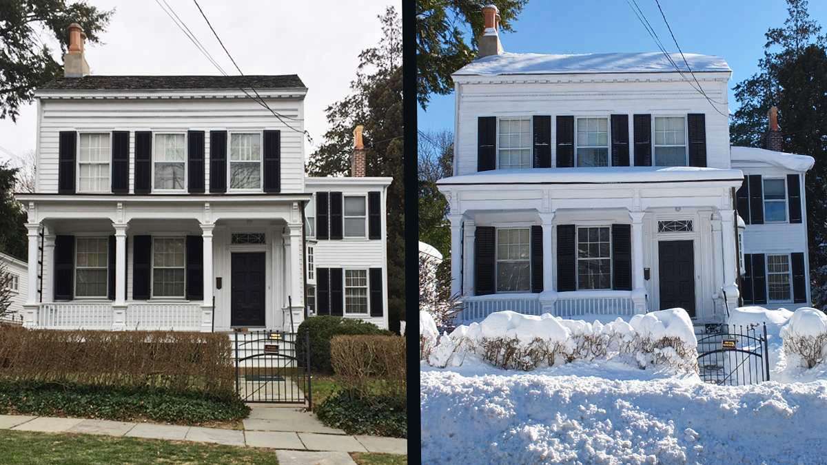
Albert Einstein's Princeton home at 112 Mercer Street. (Alan Tu/WHYY)
-

-

What made the winter storm that hit New Jersey in late January 2016 so significant was for many residents this huge snowstorm was the first real snow of the winter season. Jonas followed the warmest December on record for New Jersey with an average temperature of 47 degrees, which is 12 degrees above normal.
The major winter storm arrived in New Jersey late Friday night on January 22 and over the next 36 hours brought one to two feet of snow to most areas in central and southern New Jersey. The same storm brought major tidal flooding to some areas of the Jersey Shore.
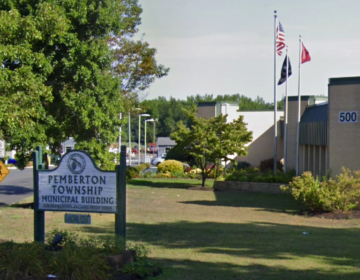
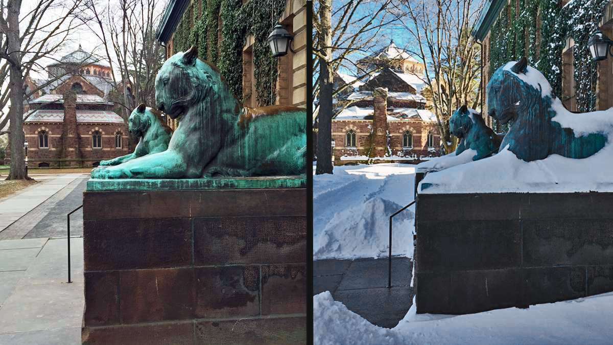
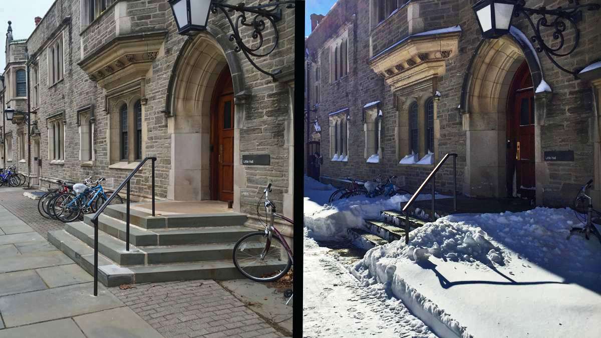
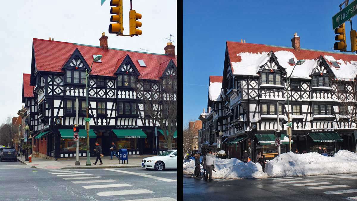
NewsWorks sent out three photographers to capture a before and after look at the storm in New Jersey. Our photos show places in Cherry Hill (20″ *) , Gloucester Township (18″) and Princeton (22″). These photos don’t show the hardest hit areas, including some of the incredibly high snow drifts that were created by the 30-50mph winds. Part of the limitation comes from committing to specific spots before the storm that in some cases didn’t show storm’s enormous power. But we hope these before and after photos do illustrate is that this past weekend was a major turning point in the 2015-16 winter season from nearly no snow to one of the major snow storms of the past decade.
See New Jersey snow totals reported Sunday morning after the storm ended.
See some dramatic snow and flooding photos from #Jonas in NJ.
*The National Weather Service did not provide a snowfall estimate for Cherry Hill but Bellmawr (3.5 miles SW) received 20″.
WHYY is your source for fact-based, in-depth journalism and information. As a nonprofit organization, we rely on financial support from readers like you. Please give today.


