

Heavy rain possible Tuesday night, Wednesday

(Photo: silent-shot via Flickr)
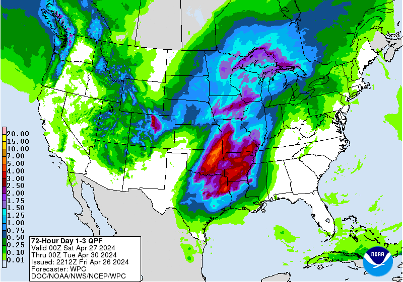
Much needed rain is likely during the midweek period, followed by possibly more toward the weekend, according to the National Weather Service.
The forecast comes amid continuing drought concerns, prompting state authorities last week to request voluntary water conservation.
Warm, humid air ahead of a cold front will stream northward tomorrow, with rain chances increasing throughout the day, according to the National Weather Service.
The atmosphere will be ripe for the development of moderate to heavy rainfall and thunderstorms head of the cold front, which forecasters expect to pass through the region on Wednesday.
By Thursday morning, forecasters expect generally around one to two inches of rain. Localized flooding of poor drainage areas is possible.
Cooler, less humid air will follow the cold front passage, with high temperatures likely in the 60s through the weekend, according to NOAA.
The forecasters say that the front will likely stall off the coast, allowing waves of low pressure to move along the boundary and possibly more precipitation later in the week, although details remain “low confidence” as of this morning.
WHYY is your source for fact-based, in-depth journalism and information. As a nonprofit organization, we rely on financial support from readers like you. Please give today.