Thunderstorms possible later; more comfortable conditions tomorrow

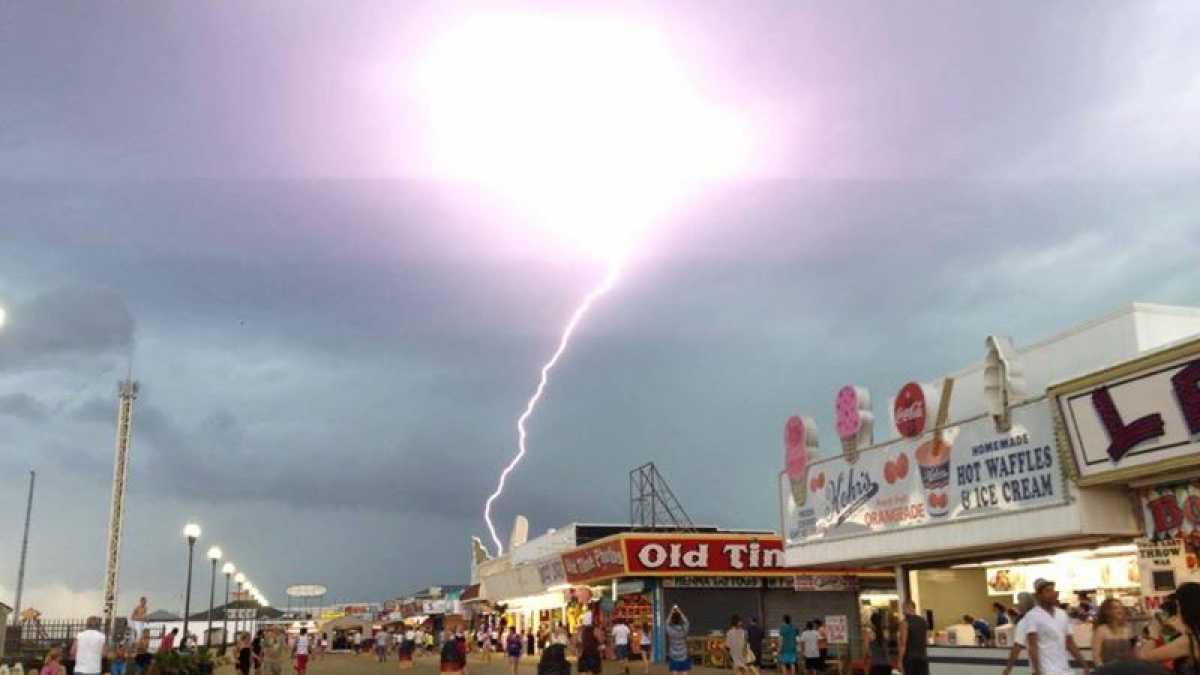
A lightning strike near the Seaside Height boardwalk as captured by JSHN contributor Jillian Speranza on June 24, 2013.
More comfortable conditions follow tomorrow after today’s steaminess with possible thunderstorms later.
A mixture of sun and clouds is overhead as of shortly before noon today. A chance of thunderstorms will increase during the afternoon hours through early evening, according to NOAA.
The National Weather Service’s Storm Prediction Center places the area in the “marginal risk” category for severe thunderstorm development, meaning a chance of “severe storms of either limited organization and longevity, or very low coverage and marginal intensity.”
The primary risks today are heavy rainfall and damaging winds.
Temperatures will rise into the middle to upper 80s at the coast and lower 90s inland. Conditions are currently very humid and uncomfortable throughout the region.
Any thunderstorms that develop will begin to diminish after sunset.
By tomorrow, skies will become sunny after some patchy fog. Temperatures will be comfortable in the lower 80s, and a north wind will deliver drier air.
WHYY is your source for fact-based, in-depth journalism and information. As a nonprofit organization, we rely on financial support from readers like you. Please give today.

