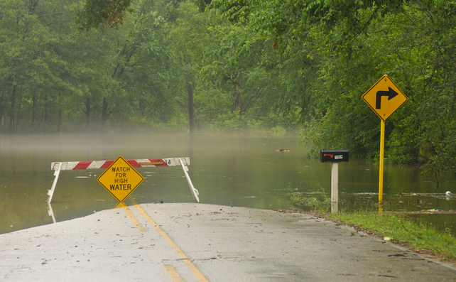
NWS: Heavy rain to spur flooding throughout region

Photo: tammra via Flickr
With two to five inches of rain expected in the area Tuesday night through Thursday, forecasters are concerned about the flooding potential, according to a briefing issued by the National Weather Service Tuesday afternoon.
The heaviest rain is expected to fall from early Wednesday morning through late Wednesday night, with flooding impacting creeks and streams first, followed by larger streams and rivers then mainstem rivers.
The National Weather Service forecasts the flooding timing and impacts:
Small creeks and streams: Late Tuesday night through early Thursday. Based on current rainfall forecasts, minor flooding is likely along small creeks and streams across eastern Pennsylvania, central and northern portions of New Jersey, as well as northern Delaware. Moderate to major flooding is possible.
Larger streams and rivers: Wednesday night into Thursday. Based on current rainfall forecasts, minor flooding is also possible along a few of the larger rivers across the Raritan, Passaic, and Rancocas basins in New Jersey as well as the Brandywine in Pennsylvania.
Mainstem rivers: Thursday into Saturday. Based on current rainfall forecasts, rises are expected on all mainstem rivers such as the Passaic, Raritan, Delaware, and Schuylkill. Minor flooding is possible along portions of the Raritan and Schuylkill.
In addition, minor tidal flooding is expected Tuesday night and possibly Wednesday night along the oceanfront, Tuesday night and Wednesday night along the Delaware Bay and Delaware River, and Thursday morning along the Maryland Eastern Shore.
Then clearing begins later Thursday, with pleasant conditions expected through the weekend.
WHYY is your source for fact-based, in-depth journalism and information. As a nonprofit organization, we rely on financial support from readers like you. Please give today.

