Hurricane Gert to remain at sea but rip current impact will be felt in N.J.

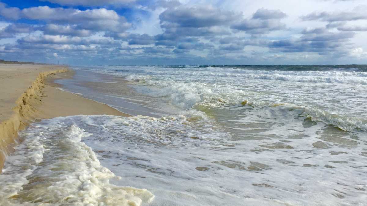
South Seaside Park in September 2015. (Justin Auciello/WHYY)
The second hurricane of the 2017 season will remain far from New Jersey but is set to generate rough ocean conditions, forecasters say.
Hurricane Gert formed late Monday evening, according to the National Hurricane Center. Forecasters expect the cyclone, situated about 445 miles west of Bermuda as of 11 p.m. Monday, to turn toward the north and then northeast late Tuesday and remain away from land.
But swells generated by Gert will impact the East Coast through at least Wednesday before dropping through Thursday into Friday.
“These swells are likely to cause life-threatening surf and rip current conditions,” a National Hurricane Center public advisory on the cyclone states.
Forecasters at the National Weather Service office in Mount Holly say the incoming swells “will likely bring at least a moderate risk for the development of dangerous rip currents” Tuesday into Wednesday.
“Swim only in the presence of lifeguards where safety prevails,” the service continues. “Otherwise, you’re on your own with any rescue potentially critically delayed.”
Here’s how to identify a rip current:
- A channel of churning, choppy water.
- An area having a notable difference in water color.
- A line of foam, seaweed, or debris moving steadily seaward.
- A break in the incoming wave pattern.
If caught in a rip current, NOAA advises:
- Stay calm.
- Don’t fight the current.
- Escape the current by swimming in a direction following the shoreline. When free of the current, swim at an angle—away from the current—toward shore.
- If you are unable to escape by swimming, float or tread water. When the current weakens, swim at an angle away from the current toward shore.
- If at any time you feel you will be unable to reach shore, draw attention to yourself: face the shore, call or wave for help.
WHYY is your source for fact-based, in-depth journalism and information. As a nonprofit organization, we rely on financial support from readers like you. Please give today.


