Heat returns later this week at the Jersey Shore

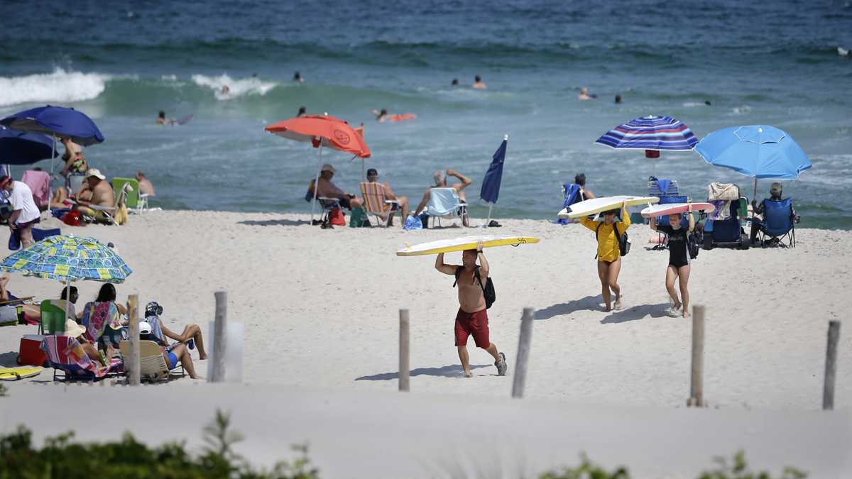
Surfers carry their surfboards across the beach as they call it a day
With Hermine continuing to spin offshore and deliver clouds, a few showers, and a breeze at the Jersey Shore, it feels more like early fall than late summer.
But midsummer-like warmth will arrive later this week, courtesy of a high pressure system that will build eastward and later move offshore.
According to the National Weather Service office in Mount Holly, that’ll allow for a “warm and moist flow from the southwest to begin across the region with mostly sunny skies” by tomorrow as what remains of Hermine will finally begin to move well offshore.
But coastal areas will likely not experience the warmer and sunnier conditions until Thursday as Hermine’s remnants will influence coastal weather.
High temperatures will begin climbing Thursday through Saturday, when they likely will peak well into the 90s inland.
Closer to the coast, middle to possibly upper 80s is more likely for the heat’s peak on Saturday, according to NOAA.
The good news, the NWS says, that it will not be as muggy as earlier heat waves this summer since dewpoints “are still modeled in the middle and upper 60s.” Previous heat waves resulted in dewpoints in the lower to middle 70s, making it feel quite uncomfortable.
By Sunday, a cold front will likely deliver more seasonable conditions, featuring temperatures closer to normal and mostly sunny skies.
WHYY is your source for fact-based, in-depth journalism and information. As a nonprofit organization, we rely on financial support from readers like you. Please give today.

