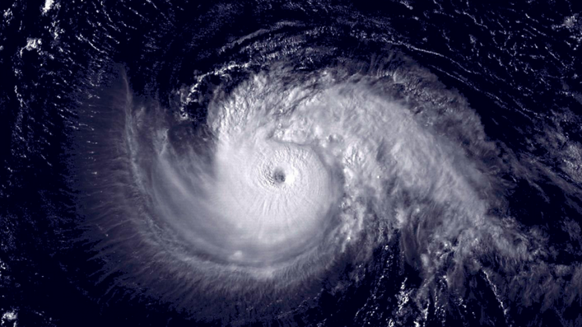
Forecasters: “Fairly quiet” hurricane season peaks today

(Image: NOAA)
There are no named storms during today’s peak of the Atlantic hurricane season — the first time since 1992, forecasters say.
The season, which has featured four named storms in the Atlantic basin, has been “fairly quiet,” according to a tweet from the National Weather Service Middle Atlantic River Forecast Center.
The National Hurricane Center is currently monitoring two disturbances — one near the Bahamas and the other in the central Atlantic Ocean off Africa — with the latter much more likely to develop over five days (70% compared to 20%).
Sept 10. is the day when historically the maximum amount of convection and minimal amount of shear are found in the Atlantic basin, leading to the best chance of tropical system development, The Weather Channel’s Jim Cantore said in a broadcast Tuesday night.
In August, the National Oceanic and Atmospheric Administration released an updated Atlantic basin forecast, calling for a higher likelihood of a below-normal hurricane season.
“We are more confident that a below-normal season will occur because atmospheric and oceanic conditions that suppress cyclone formation have developed and will persist through the season,” said Gerry Bell, Ph.D., lead seasonal hurricane forecaster at NOAA’s Climate Prediction Center, a division of the National Weather Service.
The specific factors influencing the change to the forecast include:
Overall atmospheric conditions are not favorable for storm development. This includes strong vertical wind shear, a weaker West African monsoon, and the combination of increased atmospheric stability and sinking motion. These conditions mean fewer tropical systems are spawned off the African coast, and those that do form are less likely to become hurricanes. These conditions are stronger than originally predicted in May and are expected to last mid-August through October, the peak months of the hurricane season;
Overall oceanic conditions are not favorable for storm development. This includes below-average temperatures across the Tropical Atlantic, which are exceptionally cool relative to the remainder of the global Tropics. This cooling is even stronger than models predicted in May and is expected to persist through the hurricane season; and
El Niño is still likely to develop and to suppress storm development by increasing vertical wind shear, stability and sinking motion in the atmosphere.
Despite the current lack of activity, residents along the Eastern seaboard should remain vigilant, Gerry Bell, lead hurricane forecaster for the U.S. Climate Prediction Center in College Park, Maryland, told Bloomberg.
Bell said that people need to remain prepared since the season is not over.
WHYY is your source for fact-based, in-depth journalism and information. As a nonprofit organization, we rely on financial support from readers like you. Please give today.

