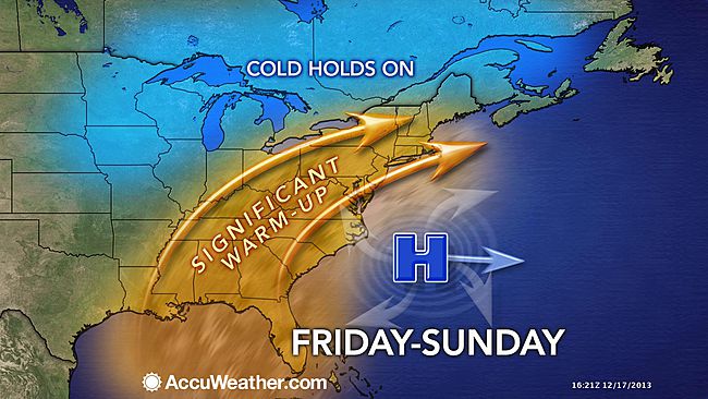
Winter thaw peaks Sunday with record-breaking warmth

(Image: AccuWeather.com)
Astronomical winter begins Saturday, but you likely won’t be sipping hot cocoa to ring in the season.
A warm-up begins today, peaking on Sunday with record breaking temperatures throughout the New Jersey region.
Gary Szatkowski, head meteorologist at the National Weather Service office in Mount Holly, humorously tweeted earlier that it’s “clearly going to be the best beach weekend of the month.”
With a warm southwest flow today, temperatures will moderate into the 40s today in most locations, with low 50s possible in South Jersey. We’ll have sun and some passing clouds. For tomorrow, more clouds, but warmer, with temperatures climbing into the 50s in most locations (cooler in the higher elevations). Areas with snow pack will likely experience fog Friday night into Saturday due to temperature differences.
For the weekend, Saturday appears to be the best day for outdoor activities, with a better chance of showers Sunday. Temperatures will be around 60 Saturday. The record breaking day is Sunday, when mostly everyone will see temperatures in the 60s (warmest south).
After a chance of showers Monday, we’ll clear for Christmas Eve and Christmas, with seasonably cold temperatures expected.
WHYY is your source for fact-based, in-depth journalism and information. As a nonprofit organization, we rely on financial support from readers like you. Please give today.

