Tidal flooding possible during early week

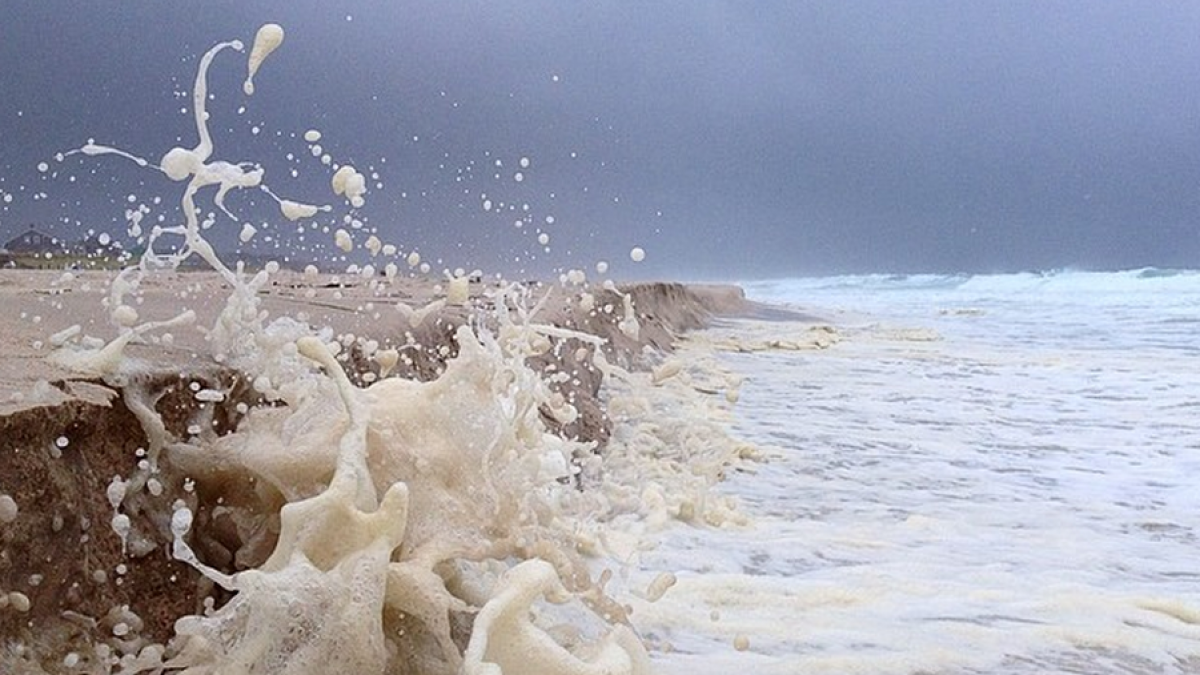
South Seaside Park in August 2014. (Photo: Justin Auciello/JSHN)
Forecasters are monitoring two potential coastal flooding events during early next week.
The Jersey Shore will begin experiencing an onshore flow today due to high pressure to the north and low pressure to the south, according to the National Weather Service.
With the high pressure system anchored to the north, forecast modeling pins the first low pressure system to pass well offshore tomorrow, while another developing off North Carolina’s Outer Banks will track to the southeast of the region on Tuesday.
The interaction between the two systems will maintain on onshore flow “to varying degrees” today through Tuesday, pushing water against the coast, according to the National Weather Service. In addition, astronomical tides will be high due to the new moon tomorrow.
What does this mean for potential tidal flooding?
Minor tidal flooding is possible for the high tide tomorrow morning, especially in northern Shore areas, but forecasters say confidence remains low given the short duration of onshore flow and wind direction possibly changing more to the north.
The more troublesome high comes on Tuesday morning due to a longer duration of onshore wind and larger waves. The National Weather Service is advising of potentially widespread minor tidal flooding possibly reaching moderate levels in some locations.
Stay tuned to JSHN for updates as the potential impacts become clearer.
WHYY is your source for fact-based, in-depth journalism and information. As a nonprofit organization, we rely on financial support from readers like you. Please give today.

