Possible weekend storm, but not “historic”; hype is “nonsense,” forecasters say
Forecasters are monitoring another potential winter storm for late Saturday into Sunday, but it won’t be the blockbuster system that has been hyped since last week.
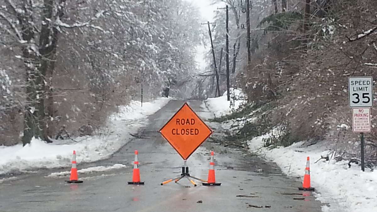
“Like any winter storm, we have to worry about the potential for snow, ice and rain. Right now, the weekend storm looks less threatening than the 6+ inch snowstorm we had Monday, and the major ice storm we had last night,” a briefing released by the National Weather Service office in Mount Holly, NJ Wednesday afternoon advises.
Last week, a weather model map indicating 30 inches or more of snow went viral on social media, spurring a frenzy.
In the briefing, National Weather Service forecasters have choice words for those who spread dramatic graphics far from a possible event: “It was the antithesis of public service when the 30 inch snowstorm graphic was posted & hyped last week. It continues to be the antithesis of public service.”
The National Weather Service office began receiving phone calls about the rumor last week from the general public worried about the storm impacting their plans, which continued yesterday.
Forecasters say the fearmongering is a “needless worry imposed upon the public by some very thoughtless behavior.”
“Do not reinforce that thoughtless behavior by spreading the rumor. It was nonsense then; it’s nonsense now,” the forecasters plea in the briefing.
The National Weather Service will release additional details on the weekend threat on Thursday.
WHYY is your source for fact-based, in-depth journalism and information. As a nonprofit organization, we rely on financial support from readers like you. Please give today.


