Snow to snarl the Jersey Shore evening commute

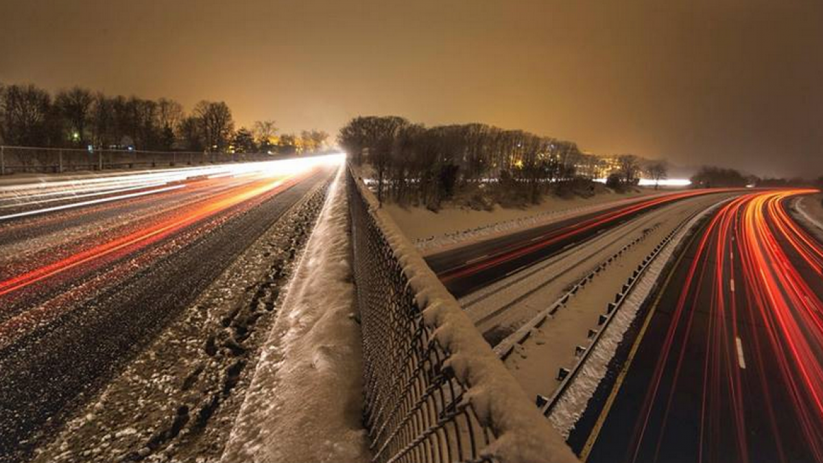
A Feb. 2014 time-lapse image of traffic from a Garden State Parkway overpass in Old Bridge. (Photo: Jennifer Khordi via Jersey Shore Hurricane News)
A quick moving system aims to disrupt the Wednesday evening commute at the Jersey Shore, forecasters say.
The National Weather Service office in Mount Holly, NJ expects the Jersey Shore to see the most accumulations in the state, with around one to two inches in Monmouth County and generally two to four inches in counties to the south, according to a snowfall accumulation map.
Motorists should plan for slippery travel throughout coastal counties, especially Ocean County to the south.
“A mix of snow and sleet will overspread the region from the west during the early afternoon,” a Winter Weather Advisory from the service advises. “There may be a bit or rain at the onset, especially near the bays and toward the coast. The snow and sleet may become moderate for a period from mid-afternoon into early evening before tapering to flurries during the evening hours.”
The bulletin continues:
“The combination of snow and sleet could lead to slippery conditions on roads, walkways, and parking lots. The period of greatest impact will include the evening commute. Motorists are urged to use extra caution. Poor visibility will be possible within the heavier bands of snow and sleet.”
A “reasonable worst case scenario” map issued by the service indicates generally between five and six inches of snow at the Jersey Shore.
WHYY is your source for fact-based, in-depth journalism and information. As a nonprofit organization, we rely on financial support from readers like you. Please give today.

