Severe thunderstorms possible today at the Jersey Shore

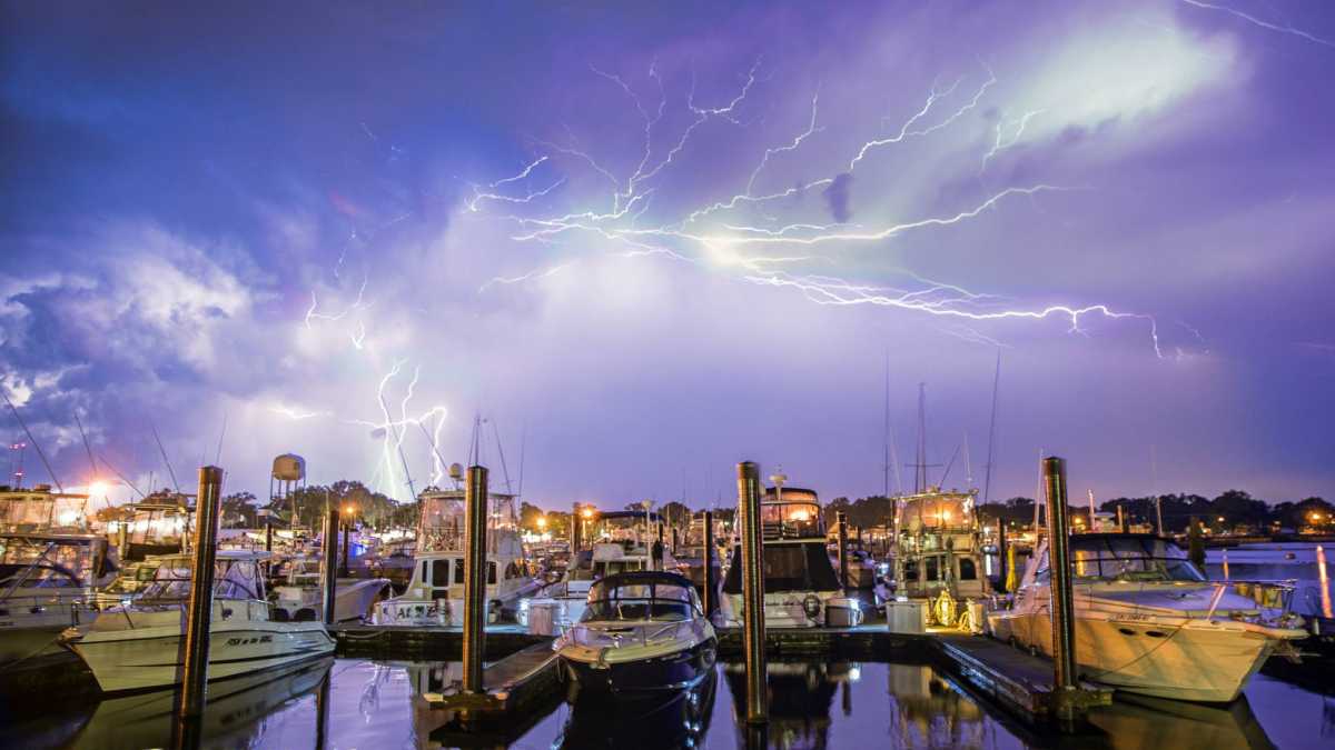
A lightning storm over the Belmar Marina in July 2014 by Victor Bubadias Photography.
Additional thunderstorms are possible today at the Jersey Shore after active early morning.
Strong to severe thunderstorms rumbled through portions of Ocean and Atlantic counties between 1 and 2 a.m., generating torrential downpours, gusty winds, thunder and lightning, and in some areas, hail.
Daytime heating will generate instability and prime the atmosphere for additional thunderstorm development later today, particularly during the late afternoon and early evening hours in advance of a cold front.
The National Weather Service’s Storm Prediction Center has placed the Jersey Shore within the “marginal risk” designation for thunderstorms, meaning a chance of “severe storms of either limited organization and longevity, or very low coverage and marginal intensity.”
Some of the storms could produce locally damaging winds or hail.
Forecasters expect the precipitation to end from west to east as the cold front sweeps across the Garden State and heads offshore by around midnight.
Image by Victor Bubadias Photography.
WHYY is your source for fact-based, in-depth journalism and information. As a nonprofit organization, we rely on financial support from readers like you. Please give today.

